Selected Past Projects
LUCIA - Land Use, Climate and Infections in Western Amazonia
This Project is a network of researchers at Duke University, Universidade Federal de Minas Gerais, Universidad Peruana Cayetano Heredia y la Universidad San Francisco de Quito. The Ecuadorian team has developed an Agent Based Model of local-scale malaria transmission. The model reproduces the environment of a typical riverine village in the northern Peruvian Amazon where the malaria transmission is highly seasonal and apparently associated with inundations of large areas caused by the neighboring river. Agents representing humans, mosquitos and the two species of Plasmodium (falciparum and vivax) are simulated in a spatially explicit representation of the environment around the village. The model environment includes: climate, houses positions and elevation. Also a representation of the changes of the mosquitoes breeding areas extension caused by the river flooding is also associated to the simulation environment. A calibration process was carried out that resulted in a model able to reproduce the variations of the malaria monthly incidence over a period of three years. The model is able to reproduce observed spatial clusters of high and low malaria risk. A “what if” eradication strategy scenario is proposed: if the mosquitoes breeding sites are eliminated through reforestation in a buffer area extended at least 300 m around the village, the simulated annual malaria incidence is decreased by the 95%.
NEBE - Natural Resources, Conflict and Cooperation in Bolivia and Ecuador
Natural resources have been central to conflicts in Latin America because of their negative environmental, socioeconomic and cultural impacts. The project proposes to study conflict and co-operation over natural resources in Bolivia, Peru and Ecuador, with special emphasis on oil, gas and mining extraction. The research component investigates dynamics of conflict creation and co-operation, feasibility of long-term strategies to deal with revenues and to enhance international co-operation and political economy of alternative development strategies. From the capacity building perspective, the project will contribute to the formation of academic and research capacity, but also of knowledge-creating capacities – such socio-environmental community monitoring and mapping skills – that will provide inputs for research and community action. Enhanced ability of the communities to document socio-environmental circumstances will contribute to their empowerment. The project is developed by a partnership between the Institute of Social Studies at the Hague and HIVOS (Netherlands), LIDEMA (Bolivia) and the Universidad San Francisco de Quito (Ecuador).
PEER - REDD based Forest Expansion, Food Consumption, and Reduced Emissions Agricultural Policies (REAP) in the Ecuadorian Amazon
In tropical forest frontiers, agricultural policies that encourage more cultivation increase greenhouse gas emissions, while at the same time forest policies that encourage an expansion in forest cover reduce greenhouse gas emissions, but can create risks for food security. Is there any way to reconcile these contrasting goals? This research tries to inform the current debate by proving links between payments for ecosystems services (i.e. REDD+) and the production of foodstuffs using emergent silvopastoral landscapes in the Ecuadorian Amazon. In this research the emergence of these new forested landscapes are seen as both, an “opportunity” for REDD+ due the characteristics of these landscapes as a carbon sink, and as a “natural experiment” to explore the relationship between the expansions of forested landscapes and the production of food. The proposed research has three interconnected objectives: (a) Identify the extent and drivers of silvopastoral landscapes, (b) Identify food consumption and production patterns and understand how they are affected by the emergence of silvopastoral landscapes, (c) create future scenarios of secondary forests and carbon emissions for the Ecuadorian Amazon.
ABE – Improving University Education and Research on the Ecuadorian Amazon: A New Partnership
A Partnership is created by the University of North Carolina at Chapel Hill (UNC) and the Universidad San Francisco de Quito (USFQ) with overall goals to: (1) strengthen university capacity in Ecuador to provide high-quality education about the Ecuadorian Amazon; (2) conduct and disseminate applied research relevant to biodiversity conservation and resource management; and (3) work collaboratively with partner institutions also funded by USAID in Bolivia, Peru and Colombia. These goals will be achieved by the following main activities: (1) UNC will provide short-term training, data and literature to USFQ faculty to strengthen social science education on the Amazon at USFQ and possibly in an Amazon-based university; (2) UNC will collaborate with USFQ faculty to create and teach five new Master’s level courses in the MSc. Graduate Program in Ecological Sciences at USFQ; these courses will serve as the basis for a new Certificate in Amazon Studies; (3) UNC and USFQ will work together to strengthen research on the Ecuadorian Amazon, drawing on the latest scientific literature and new household survey data, to train students (and strengthen skills of faculty) in experiential and applied research on the Amazon; (4) USFQ will provide three additional undergraduate scholarships per year to indigenous students from the Amazon, with preference for women.
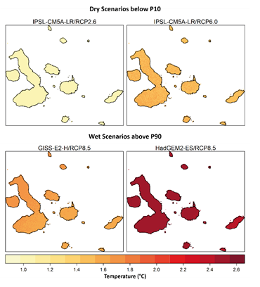
POP - Scenario planning for tourism management: a System Dynamics simulation approach applied to the Galapagos Islands
This project has generated a decision-support system based on a System Dynamics model designed to aid the decision-making processes of tourism management in the Galapagos Islands. A participative approach was followed during model development to embrace the views of stakeholders and policy-makers of the Galapagos. The model offer a relatively simple, understandable, graphical representation of the impacts generated in several strategic subsystems of the Galapagos Islands, examined through hypotheses involving three different change scenarios. The subsystems include population, natural environment, protected area management, importation of goods and products, touristic infrastructure, transportation, and electrical production and use. Under each scenario, tourism growth and the corresponding increase in the resident population are highlighted, as the central processes reshaping the islands, with clear implications for human-environment interactions. The expanded human dimension in the Galapagos generates a number of integrative social-ecological effects that have the potential to cause severe shocks to the natural environment of the Galapagos Islands, and possibly, to saturate the capacity of several socio-economic subsystems. The decision-support system generated in this project is a quantitative scenario planning tool that can be used by policy-makers to achieve an enhanced understanding of the Galapagos Islands as a coupled human-natural system.
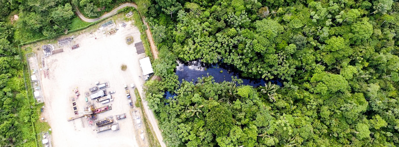
SENSEOIL - Remote Sensing of Environmental Liabilities of the Oil Industry in the Ecuadorian Amazon
This project reviews over 1100 location of oil spill events over Ecuador from 1980 to 2012. This is the official record of oil spills in Ecuador. We used cloud free Landsat 5 TM and Landsat 7 ETM+ images which we could retrieve information about the previous and post spill situation. 40 final sites were selected, which distributed in 55 images over our study area. These points were used to evaluate 3 analysis methods described here in order to keep consistency with our analyses: Subpixel Analysis and Fractional Coverage (on multi-spectral scenes) and Radar analysis.